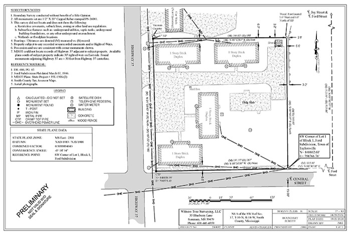
A land surveyor is a professional who measures and maps land to determine property boundaries, locations, and features. Their work ensures accurate property descriptions, helping landowners and developers avoid disputes and adhere to legal requirements. Here are key tasks a land surveyor performs:
- Boundary Surveys: Land surveyors identify and establish property lines based on deeds, historical records, and physical markers. This is crucial for property transactions, subdivisions, and resolving boundary disputes.
- Topographic Surveys: They measure land elevations and map out natural and man-made features like trees, buildings, roads, and water bodies. This information is essential for construction, development projects, and environmental planning.
- Construction Surveys: Surveyors help guide construction projects by marking the exact locations where buildings, roads, or other structures should be placed according to the site plans.
- Subdivision Surveys: For property owners or developers dividing land into smaller plots, surveyors map out and create precise legal descriptions for each parcel, ensuring compliance with local regulations.
- Easement and Right-of-Way Surveys: They determine where public utilities, roads, or access paths can legally cross private properties, ensuring proper documentation and access.
- ALTA/NSPS Surveys: These detailed surveys provide comprehensive data for commercial real estate transactions, including boundary lines, easements, improvements, and zoning information.
- Mapping and Geographic Data: Using GPS, aerial imagery, and traditional surveying tools, land surveyors create detailed maps and geographical data used in land development, planning, and infrastructure projects.
Surveyors work with a mix of fieldwork, using tools like theodolites and GPS units, and office tasks, analyzing data and producing reports and maps. Their work ensures the accurate division, development, and use of land, helping prevent legal issues and guiding responsible land management.

