When managing land for timber, proper surveying is a critical step that sets the foundation for sustainable forestry operations. Whether you’re a landowner planning to harvest timber, a forester, or someone considering an investment in timberland, understanding how to accurately survey land is essential for maximizing returns while preserving the health of the forest. Here’s a comprehensive guide to help you navigate the process.
1. Why Surveying Land for Timber Matters
Surveying provides essential data about the land’s boundaries, topography, and resources. When it comes to timber, a proper survey determines the value of the standing timber, the health and type of tree species, and ensures you stay within property lines during harvesting. It also helps in planning access routes and avoiding costly disputes with neighboring landowners.
2. Steps to Surveying Timberland
Step 1: Understand Property Boundaries
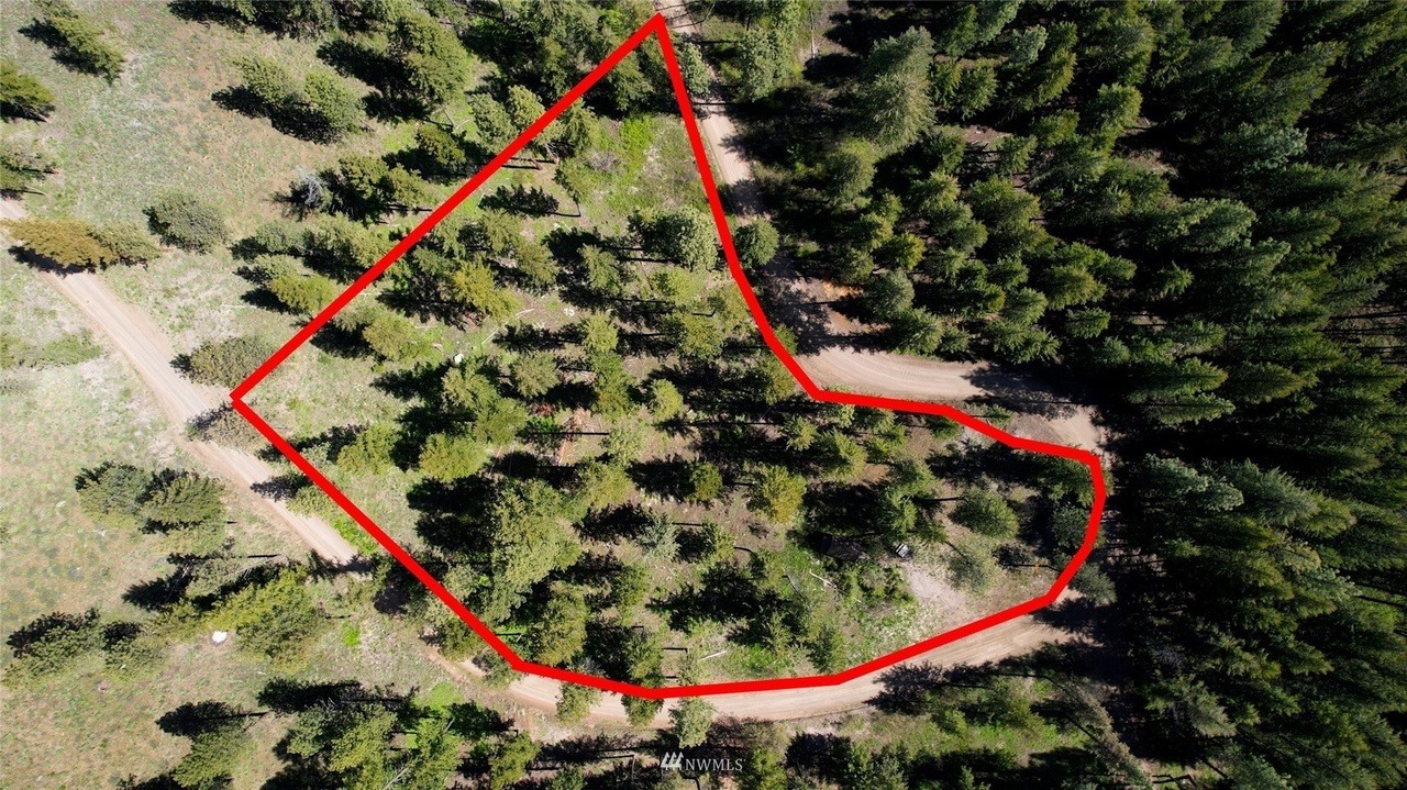
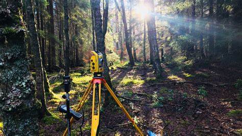
Before any timber assessment begins, it’s crucial to establish the exact property lines. Working with a licensed land surveyor ensures you have accurate boundary data, avoiding potential legal issues. Surveyors use GPS technology, property records, and sometimes old landmarks to map out the land accurately.
Step 2: Conduct a Timber Cruise
A timber cruise involves estimating the volume and value of the timber on your land. Foresters will sample specific plots within your property, measuring tree diameters, heights, and identifying tree species. The data is then used to project the total timber volume across the entire tract. A well-done timber cruise is invaluable for both selling timber and managing your land sustainably.
Step 3: Analyze Topography and Soil Quality
Understanding the land’s topography and soil quality is essential for predicting tree growth and planning logging operations. Slopes, waterways, and soil composition affect both the accessibility of the timber and the feasibility of different harvesting methods. Soil testing can also reveal which tree species are best suited for the land, guiding long-term forestry management.
Step 4: Plan Access Routes
Surveying for timber includes identifying the best access points and routes for machinery and vehicles. Efficient access minimizes damage to the land during harvesting and keeps operations cost-effective. Well-planned roads also ensure safe transportation of timber from the forest to processing areas.

3. Working with Professionals
While some aspects of surveying can be done independently, involving a professional forester and licensed surveyor is often worth the investment. They bring specialized tools, experience, and knowledge to provide accurate data and practical recommendations. From determining timber volume to understanding market trends, their expertise can significantly enhance the profitability of your timber operation.
4. Sustainable Forestry Practices
Surveying isn’t just about maximizing profit; it’s also an opportunity to promote healthy forest management. Practicing selective cutting, maintaining buffer zones around waterways, and leaving some old-growth trees are just a few ways to balance economic interests with environmental stewardship.
5. Final Thoughts
Surveying land for timber is an essential first step in any forestry operation. By understanding property boundaries, conducting a thorough timber cruise, and analyzing topography, you’ll be well-prepared to manage your timberland effectively. Whether you plan to harvest timber soon or simply want to maintain the value of your land, proper surveying is a smart investment that pays off in both the short and long term.
For landowners and investors alike, being informed about your timber resources not only helps you make better financial decisions but also ensures the sustainable use of valuable forest resources.

